GRIB Explorer - GRIB Data at Your Fingertips
GRIB Explorer
GRIB Explorer Position
GRIB Explorer Currents
GRIB Explorer Layers
GRIB Explorer Wind Barbs
GRIB Explorer Wind
GRIB Explorer Wind
GRIB Explorer Temperature
GRIB Explorer Currents

GRIB Explorer - GRIB Data at Your Fingertips

Regular price$99.00
/

Optimize Your Catch with GRIB Explorer

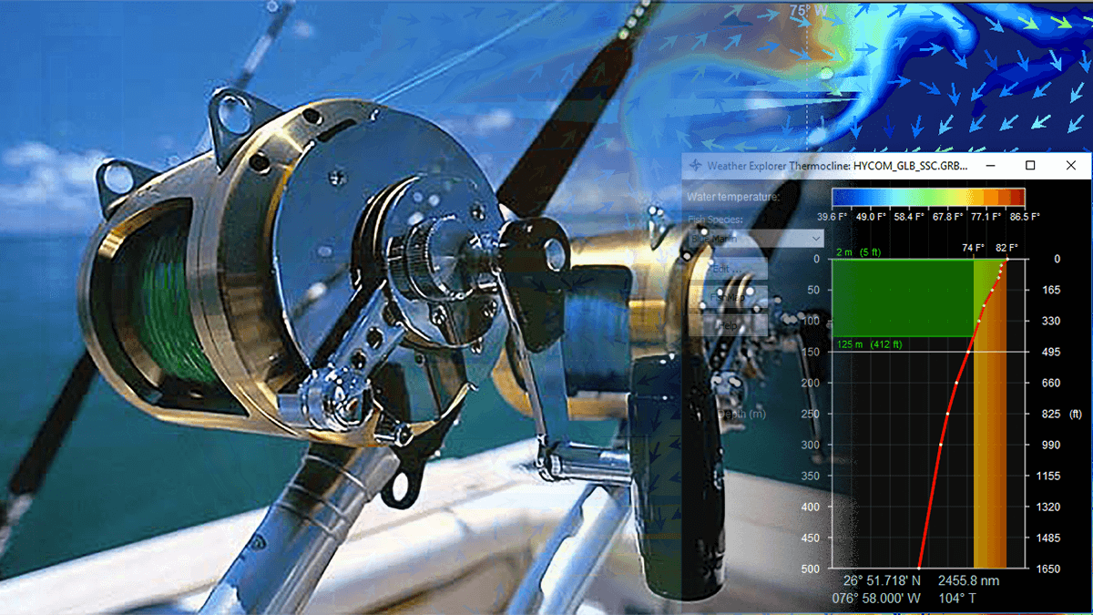
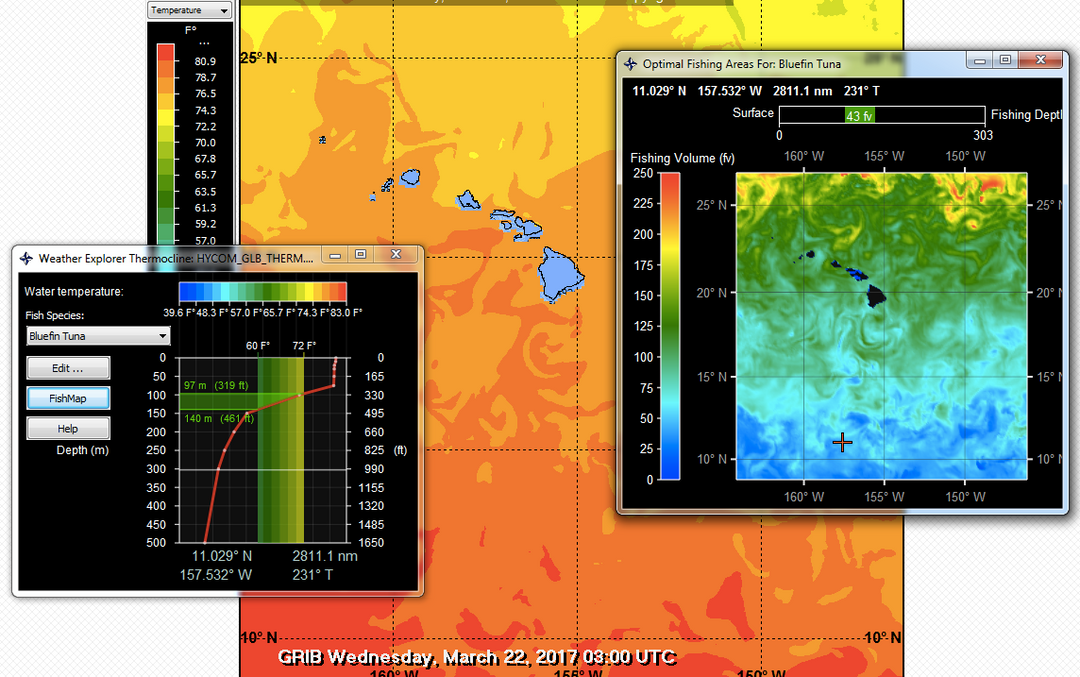
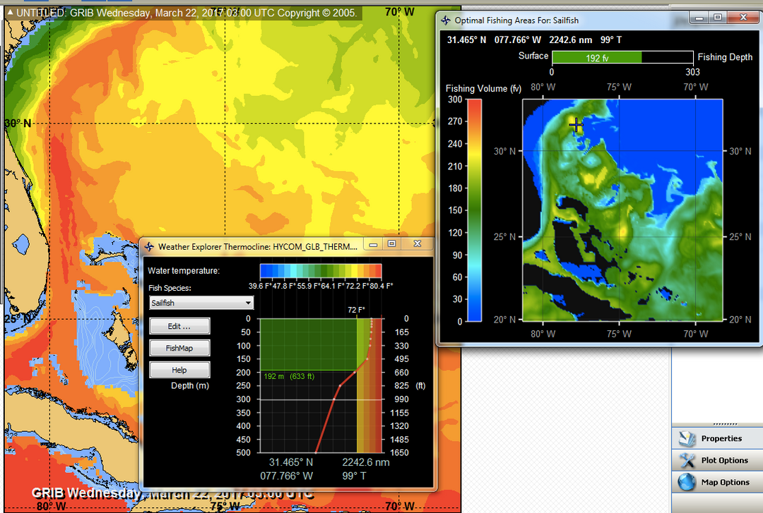
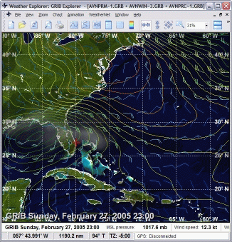
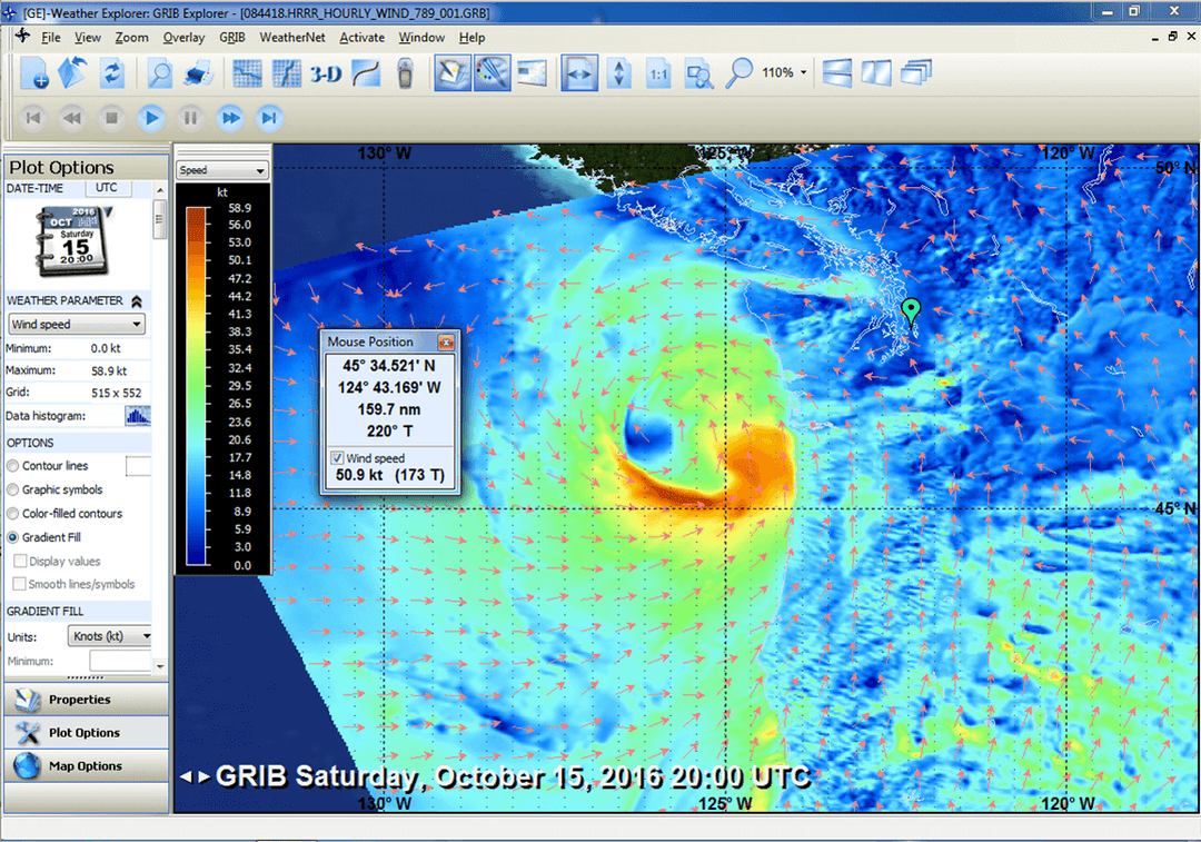
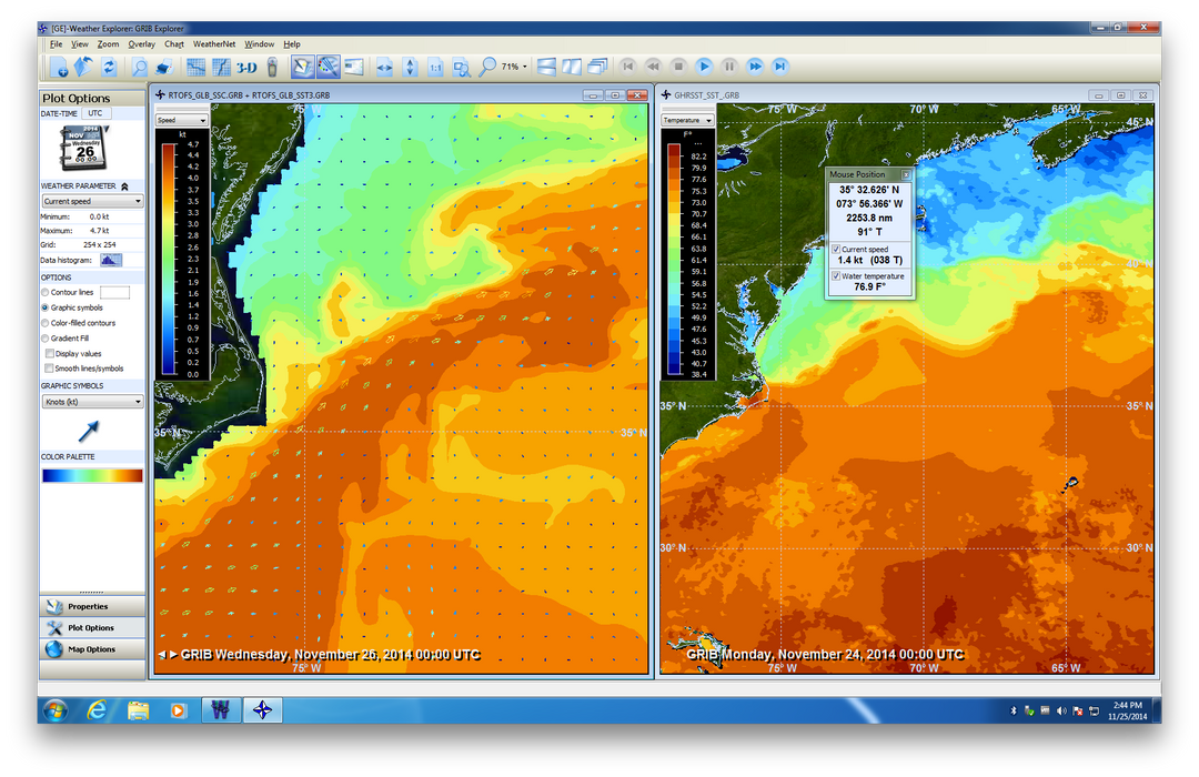
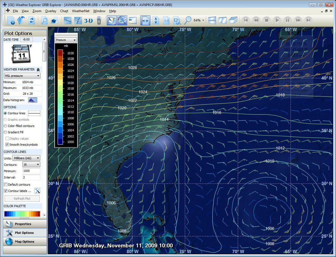
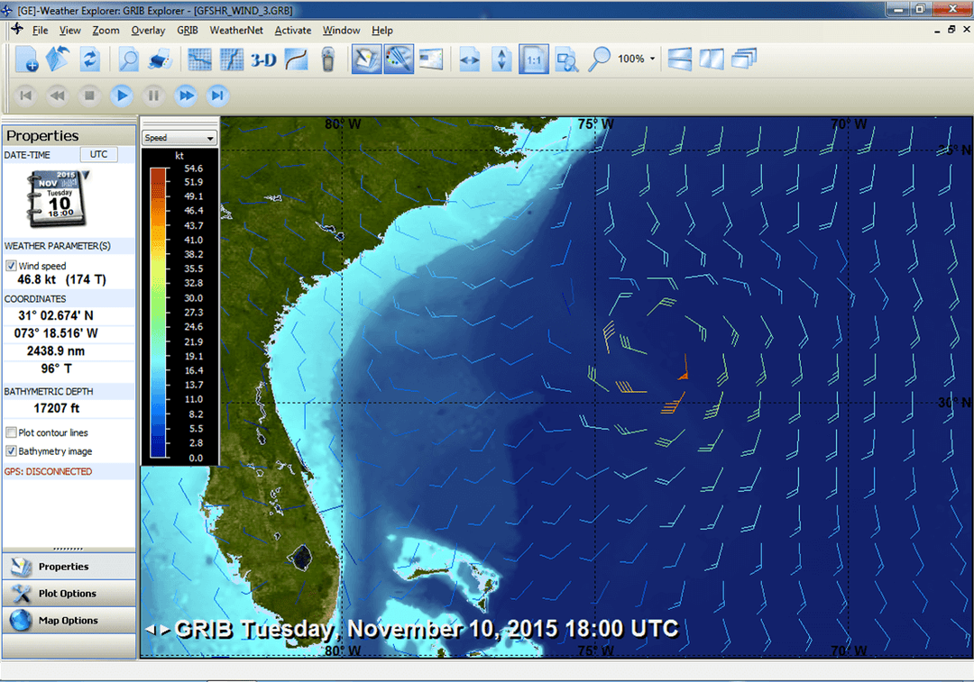
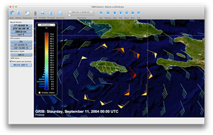
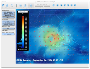
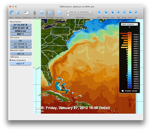
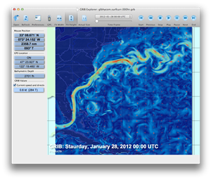
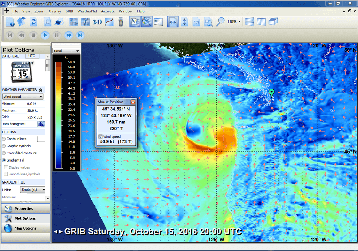
GRIB Explorer allows anyone, from day sailors to coastal cruisers and fishermen, to put to use the weather and ocean insights offered by GRIB data. Easily display data as contours lines, color filled contours, arrows or wind barbs, and even data point values. Set contour line intervals, number of contours displayed, and ranges as they relate to the data. All of these adjustments can be made on the fly while viewing the data, helping to pinpoint the information that is most important. GRIB Explorer also includes tools that allow users to view GRIB data like 500mb and sea surface heights the way they are meant to be viewed, in 3D.

GRIB Explorer includes analytics for route finding and fishing. In doing so it adds perspectives transcending anything otherwise available to those of us traveling on or working in the marine environment.

This site is protected by reCAPTCHA and the Google Privacy Policy and Terms of Service apply.

GRIB Explorer FishMap

GRIB Explorer With FishMap™

GRIB Explorer enhances fishing success by integrating advanced Thermocline and mixed layer visualization tools to locate ideal fishing zones efficiently.*

Maximize Your Catch - Target Fish by Preferred Temperature with GRIB Explorer
Maximize Your Catch

Target Fish by Preferred Temperature

Discover where your target fish species thrive by identifying their preferred temperatures across 40 species. Combine this knowledge with the maximum operational depth of your vessel or gear to hone in on the most productive fishing zones. Fish smarter and increase your catch by aligning your strategy with where your equipment and the fish are best matched in the water column.

Explore Your Fishing Block with Ease

Transform Your Fishing with FishMap™

Quickly explore different ocean areas or use GRIB Explorer’s FishMap tool to expand your view from a single point to an entire ocean block of interest. FishMap creates a visual map of the water column, highlighting the volume accessible to your gear at the temperatures preferred by your target species. This color-coded 2D map, with blues and greens shifting to yellows and reds, guides your eye to the hottest fishing spots—where the bright yellows and reds signal the best opportunities to find your target species.

Explore Your Fishing Block with Ease - Transform Your Fishing with FishMap and GRIB Explorer

Download GRIB Explorer

Download GRIB Explorer for Windows

Download GRIB Explorer for Mac

*FishMap features not availabe on Mac.

Customer Reviews

Be the first to write a review
0%
(0)
0%
(0)
0%
(0)
0%
(0)
0%
(0)