How WeatherNet Works
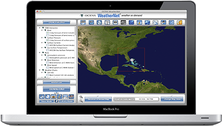
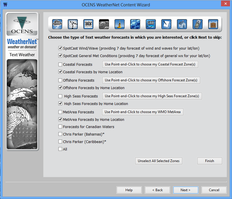
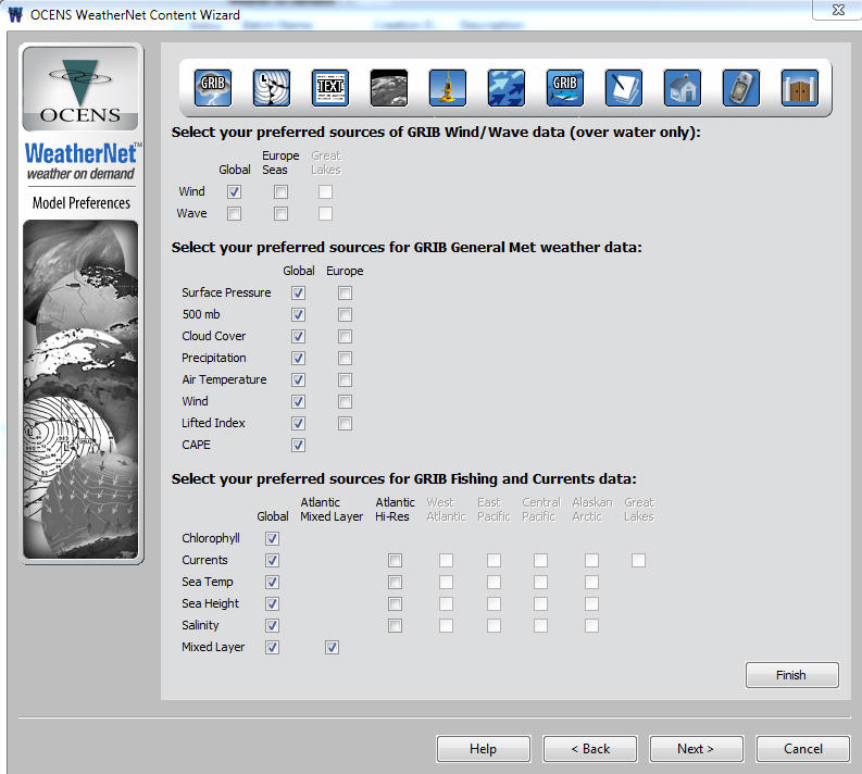
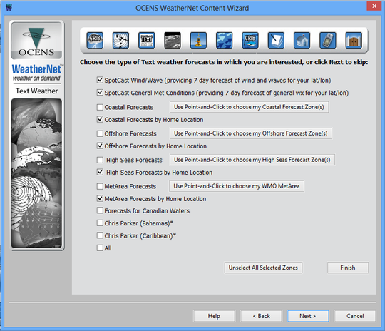
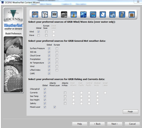
WeatherNet's Content Wizard allows you to choose GRIB or classic weather charts, text files or buoy products, fishing data or ice forecasts, satellite pictures or tide information, and more. It merges your interests with your location to create a personalized list of weather, ocean and fishing products that satisfy your specific needs.
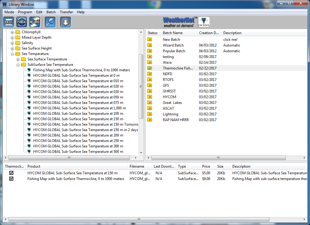
The patented File Transfer engine and WeatherNet Satellite Dialer quickly deliver requested data to your device, while customized compression of each product saves you airtime expenses. Products are easily retrievable for later analysis, and the Popular Products button on the Portal mode map shows the most requested products in your area. In addition, WeatherNet offers classical Library and Basic modes for legacy customers.
With WeatherNet, you have access to the fastest, most affordable, and largest library of GRIB and classical weather data, including ocean and fishing data, all in one package.
Companion Software
OCENS provides software to view and interpret weather data, including the GRIB Explorer. You can import standard GRIB, image, and text files into existing navigation software. WeatherNet is compatible with most navigation software systems that use standard GRIB files, and some have it built in as the download engine.
GRIB Explorer
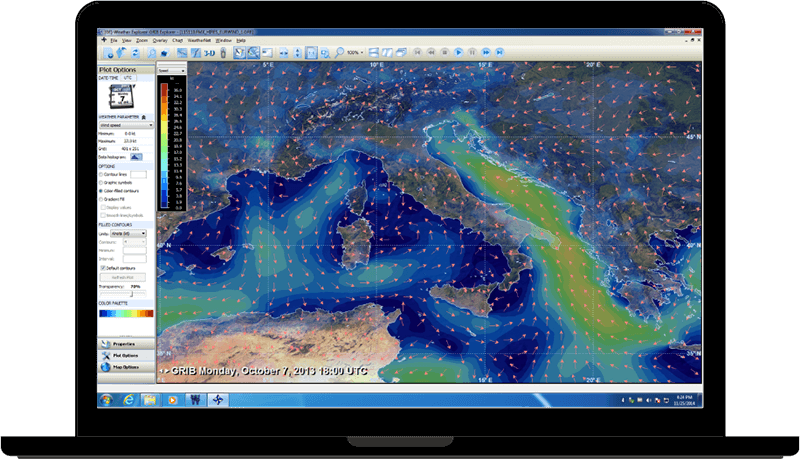
GRIB Explorer is a powerful GRIB viewing software that offers 3D views of weather and ocean data. The software includes a new plot options panel that allows for greater control over data display, with contour line intervals, ranges, and other adjustments made in real-time. With these tools, users ranging from day sailors to coastal cruisers and fishermen can easily access and interpret GRIB data for informed decision-making on the water.
Optimal Routing and Departure Planning
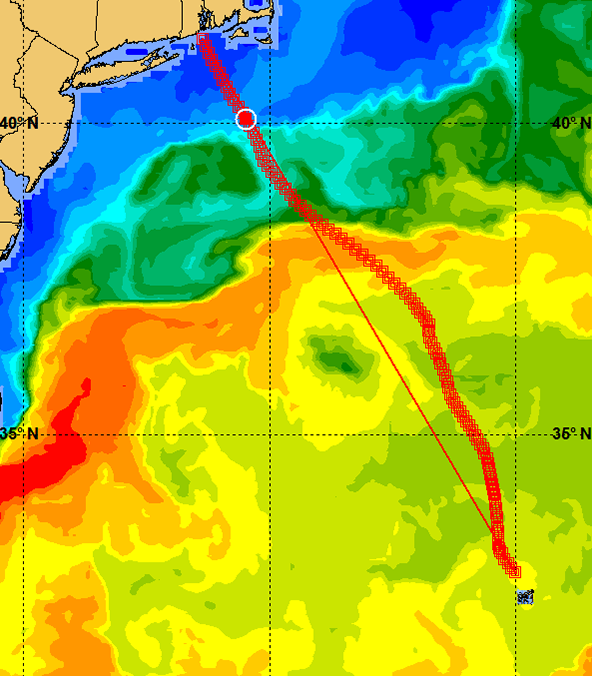
WeatherNet has integrated state-of-the-art Optimal Routing and Departure Planning tools in collaboration with partner FastSeas, making it accessible to any remote user running through satellite connections, fast or slow, cellular or Wi-Fi/Ethernet. With WeatherNet's Polar's window, users can quickly build a reliable set of vessel polars by providing just their vessel waterline length and closest point of sail. This information is used to generate a vessel polar from which Optimal Routes are crafted. For those with polars from other sources, they can be imported into WeatherNet's routing path. These tools are a crucial step in providing broad access to optimal routing insights, improving at-sea decision-making.
Fishing and Ocean Data
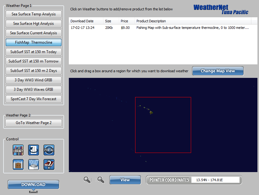
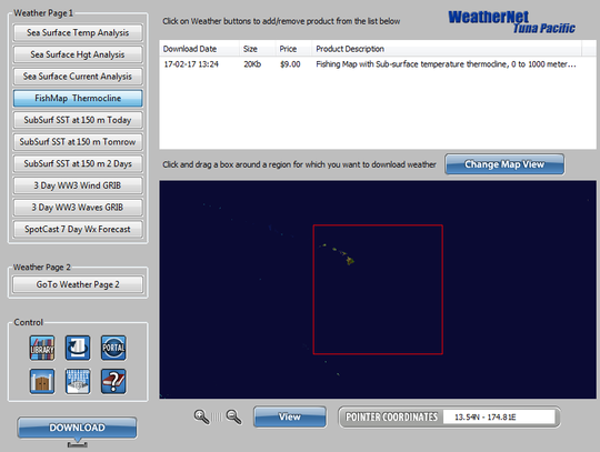
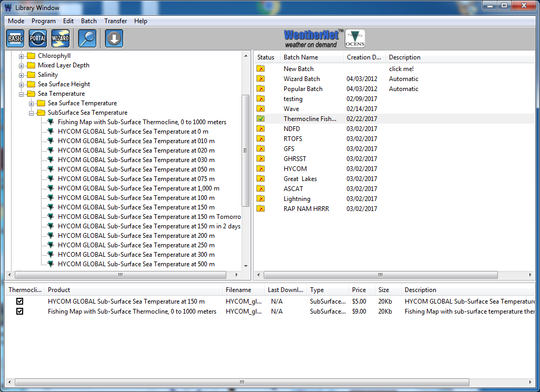
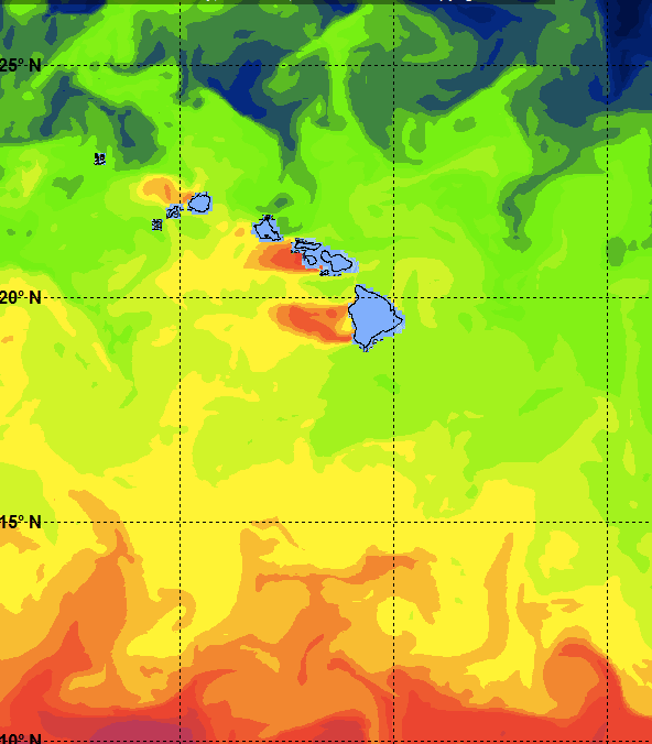
WeatherNet includes sub-surface sea temperatures and our Thermocline product. Sub-surface temperatures at 10, 20, 30, 50, 75, 100, 150, 200, 250, 300, 500 and 1000 meters are now available for any block of the ocean anywhere in the world. We then combine those 12 layers into a single file and make it available as a new, highly compressed Thermocline product. Box any area of any ocean in WeatherNet and download specific sub-surface temperature layers of interest to you or the whole set within the Thermocline product.
WeatherNet Support
User Guides
User GuideDownload WeatherNet
WeatherNet for Windows 5.13a (Approx: 120MB)
WeatherNet for Mac* 5.13 (Approx: 203MB)
*Mac users with retina screens need to install software such as QuickRes or EasyRes to set a fixed screen resolution for mapping features in WeatherNet to work correctly. Includes optional GRIB Explorer application.
How to Video - Basic Mode
How to Video - Batch (Library) Mode
RAP and HRRR GRIBs
OCENS Thermocline and FishMap Tools
NDFD Wind and Wave GRIBs
FAQs
WeatherNet sers simply activate their account and then pay for the weather they download. Each weather product is priced independently; data costs and estimated air time are computed prior to the download. The amazing thing is that WeatherNet is so efficient that you will pay less using this for pay service than you would downloading this data for free over the internet using conventional methods!
Cross sample of some of the data available including sample pricing.
- Satellite Imagery: 30¢
- Animation: $1
- Buoy/Buoy Current: 10¢
- Ice: 35¢
- Radar: 10¢
- Ocean Charts: 30¢
- Text: 20¢
- Tides: 10¢
- Weather Charts: 30¢ (exceptions for 'hard-to-find' charts such as Chile Surface Forecasts are 60¢)
- GRIB Met and WW3: 1 day: 30¢, 2 day: 35¢, 3 day: 40¢, 4 day: 45¢, 5 day: 50¢, 6 day: 60¢, and 7 day: 70¢
- Ocean data includes ocean currents, sea surface temperature, sea surface height, sea surface salinity, mixed layer depth, sub-surface temps, and chlorophyll: $5.00 to $9.00 depending on # of days.
- Thermocline: $10
Yes. You may want to import your WeatherNet routes into your navigation program. This is made straight forward by offering both CSV (smaller file size) and GPX (larger file size) formats. Point your navigation program to the WeatherNet Routing folder on your computer to visualize each and every new route delivered to you in WeatherNet.


